Mountain top radar.
On mountain top there is a short comm tower with microwave dishes quite near at about 215 degrees. ID: XSS Name: "SILVER STAR" Type: 98A Lat: 50.36944 Lng: -119.06500 GroundHt: 1888 HornHt: 26.0999999999999 BeamWidth: 1.1 Comment: "NRP Height may be imprecise"
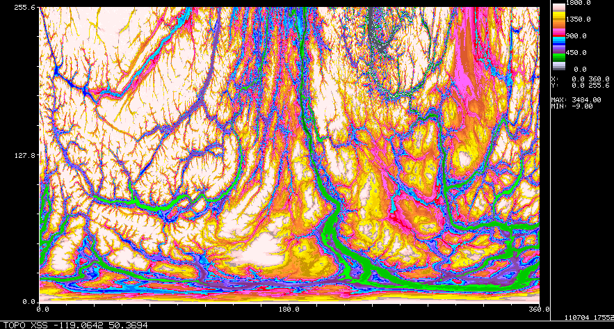
TOPOGRAPHY
BLOCKAGE
Major:
Minor Sectors: 60-80 deg beyond 70km partial blockage due to mountain peaks (is there partial blockage in west in winter?)
Minor Isolated (tower/trees/etc): 213 degrees (start 0km) approx 259 deg (toward Merritt)
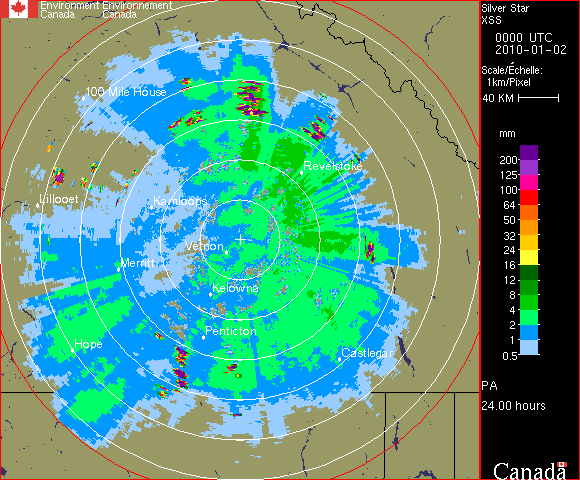
This 24h accumulation image during fairly uniform precipitation shows a typical blockage image:
SEA/LAKE CLUTTER
Can occasionally see the lake to SW of Vernon (30km at 240 deg) and lake south of Vernon (28km at 222).
WIND TURBINES
ROADS/HYDRO/etc
Map in polar coordinates
Map to 110 km
Radar echo stats from non-precipitation days
Map to 250 km
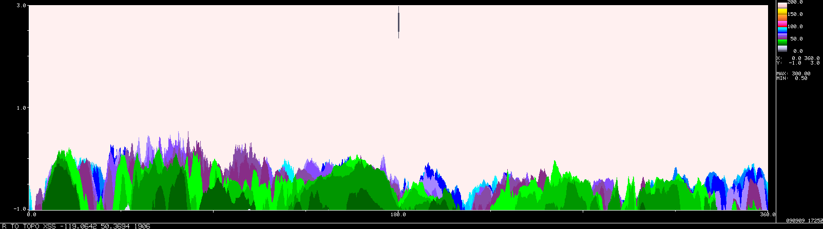
RANGE TO TOPOGRAPHY MISCELLANEOUS
×
XSS 24h accumulation
The typical collection has an example showing blockage, and an example showing the appearance of extreme AP.
(Some radars have multiple examples.)
If a radar in fact has minimal blockage an image may have been selected to illustrated that.
At some radars there are examples of other things (interference, sea clutter, etc).
RadarFieldGuide/XSS_Blockage_Example1.gif
×
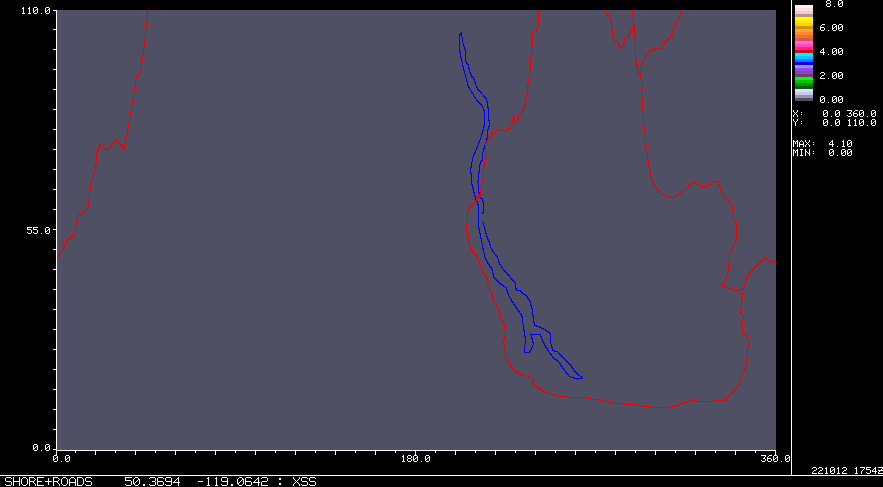
Line Maps in Polar Coordinates
These maps are based on line features extracted from Gooogle Earth for case studies. The display is in the radar's native polar coordinates (range,azimuth).
The features have been selected primarily because they relate to features seen on radar maps. So while many autoroute-style highways are in place, many are not. Less "important" roads will have been added if they have been relevant to some specific study. The same applies to geographic outlines, like shore lines, rivers and lakes. So for example Jimmy Lake is a minor feature that is included because is a source of sea clutter and some small islands near Montreal River appear as gaps in sea clutter.
Other features may appear: airports, wind farms, hydrolines and ship channels.
White dots show some point locations of interest, such as airports.
Colours are not complely consistent, but coast and rivers are blue, political boundaries are blue (too!), and transport is generally orange. Red has been used for ship channels and power corridors. Wind farms are magneta dots (incomplete).